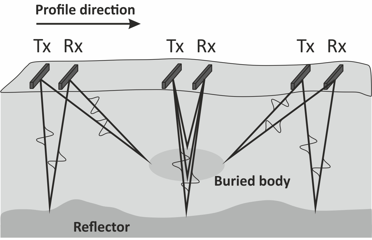
- Ground Probing Radar (GPR) is a geophysical method exploiting the propagation of high-frequency (10-2600 Mhz) EM waves in the ground and their reflection at velocity discontinuities, toward the surface. These discontinuities are essentially constituted by permittivity contrasts that can exist between different geological materials or between the ground and manmade structures.
- EM waves are emitted by a transmitter antenna and received by a synchronised receiver antenna, and the signal is recorded by a suitable data logger. The first result of a GPR surveys are the radargrams, which represent the reflection intensity vs time along a profile, and most of the GPR interpretation is made form the analysis of these diagrams.
- Investigation depth and resolution are frequency- dependent, and one would be forced to chose a trade-off between the two, since low-frequency allows to reach greater depths, while high-frequency better define the subsoil heterogeneities.Modern multi-frequency georadar equipments allow to overcome this issue. According to the adopted frequency, it’s possible to in detail investigate from tens of centimetres (concrete investigations) up to several kilometres (under ice sheets). For engineering applications, the first 20 m depth constitute the target.
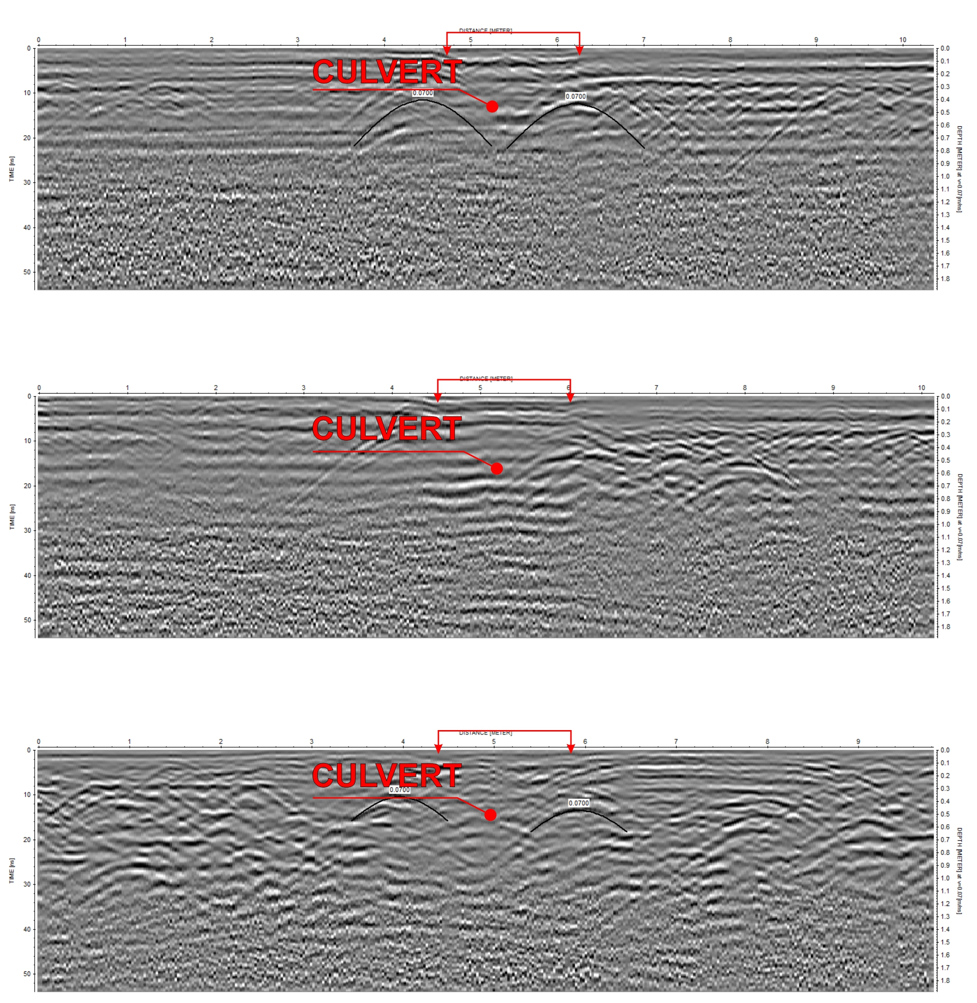 |
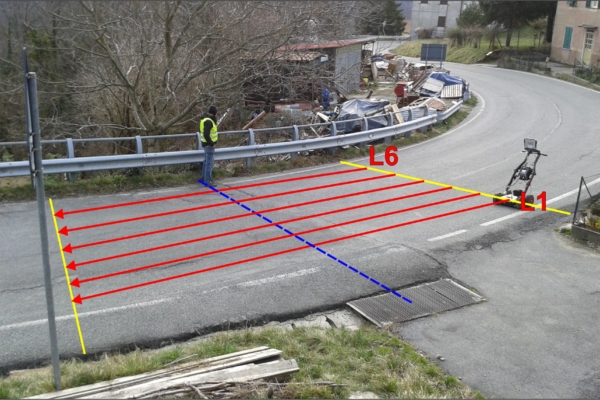
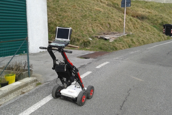
| Radargrams used for utility location |
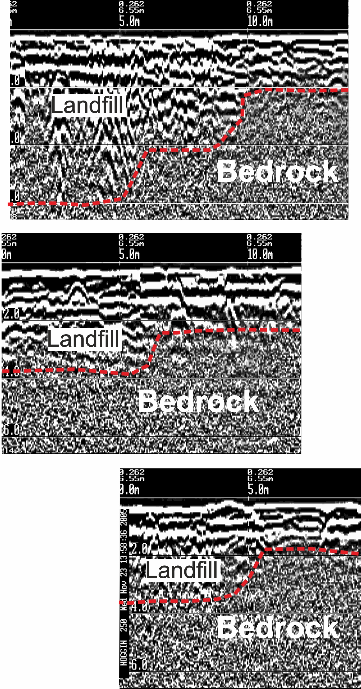 |
| Landfill volume estimation |