Scientific issues :
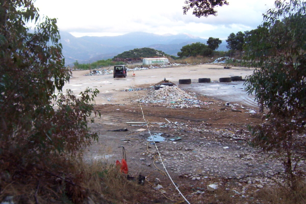
- Waste disposal sites and brownfields constitute one of the most significant environmental hazards for our society, and many effective site remediation techniques have been developed to tackle this problem. However, an essential point in the site remediation planning is the availability of accurate and reliable information about the waste and contaminant nature, location and extension.
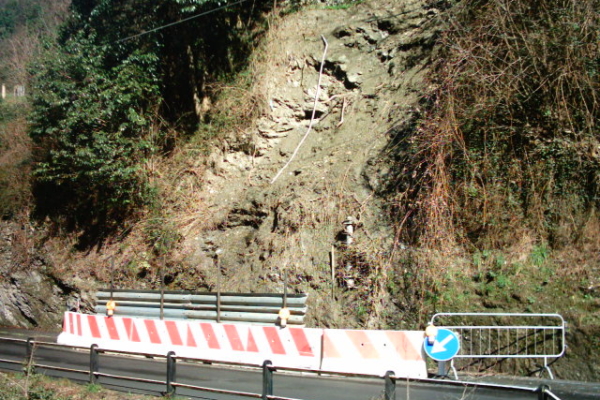
- Landslides are the among the most diffused geological hazards on Earth, and are more each day a critical factor critical in our manmade territory. Optimal mitigation interventions must rely upon a correct understanding of these phenomena, such as the slip surface, their geometry and presence of water.
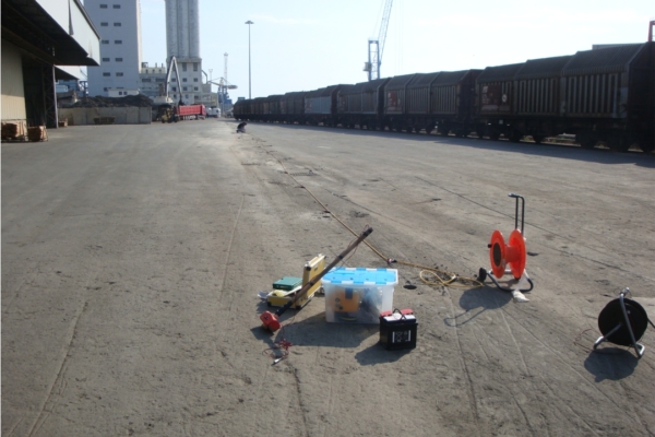
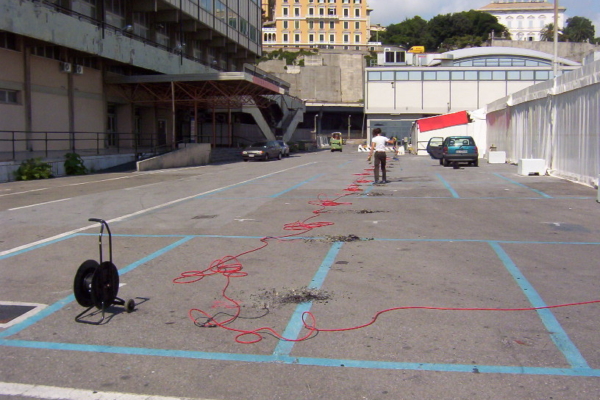
- Building design needs for an accurate characterisation of geometrical and mechanical properties of the subsoil, on which any structure will be built. In seismically active zones, an accurate evaluation of local seismic response must also be performed, in order to assess the dynamic building-soil interaction. Moreover, the presence of possible anthropic pre-existing structures must be a priori known, and their position accurately defined in order to avoid interferences.
Geophysics’ contributions :
-
Evaluation of presence, extension and geometry of contaminant material and hidden wastes in landfills and main geological constrains (bedrock depth, water table depth etc.) easily and accurately retrieved
-
Landslide structure reconstruction (slip surface, geometry)
-
Evaluation of the underground water table and location of it
-
Imaging of the bedrock geometry and stiffness, and soil mechanical properties assessment
-
Determination of Vs30 parameter for site seismic classification (according to EUROCODE 8) and local seismic response evaluation
-
Underground utility location by georadar (GPR)


