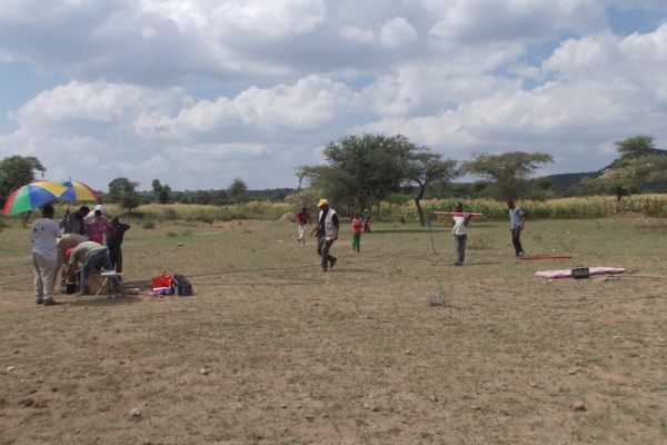
- Magnetotellurics (MT) is a powerful and effective geophysical method capable of reconstruct the underground resistivity distribution from shallow depths down to tens of kilometres. The method is very cost-effective, allowing the survey over big and rugged areas in a short time.
-
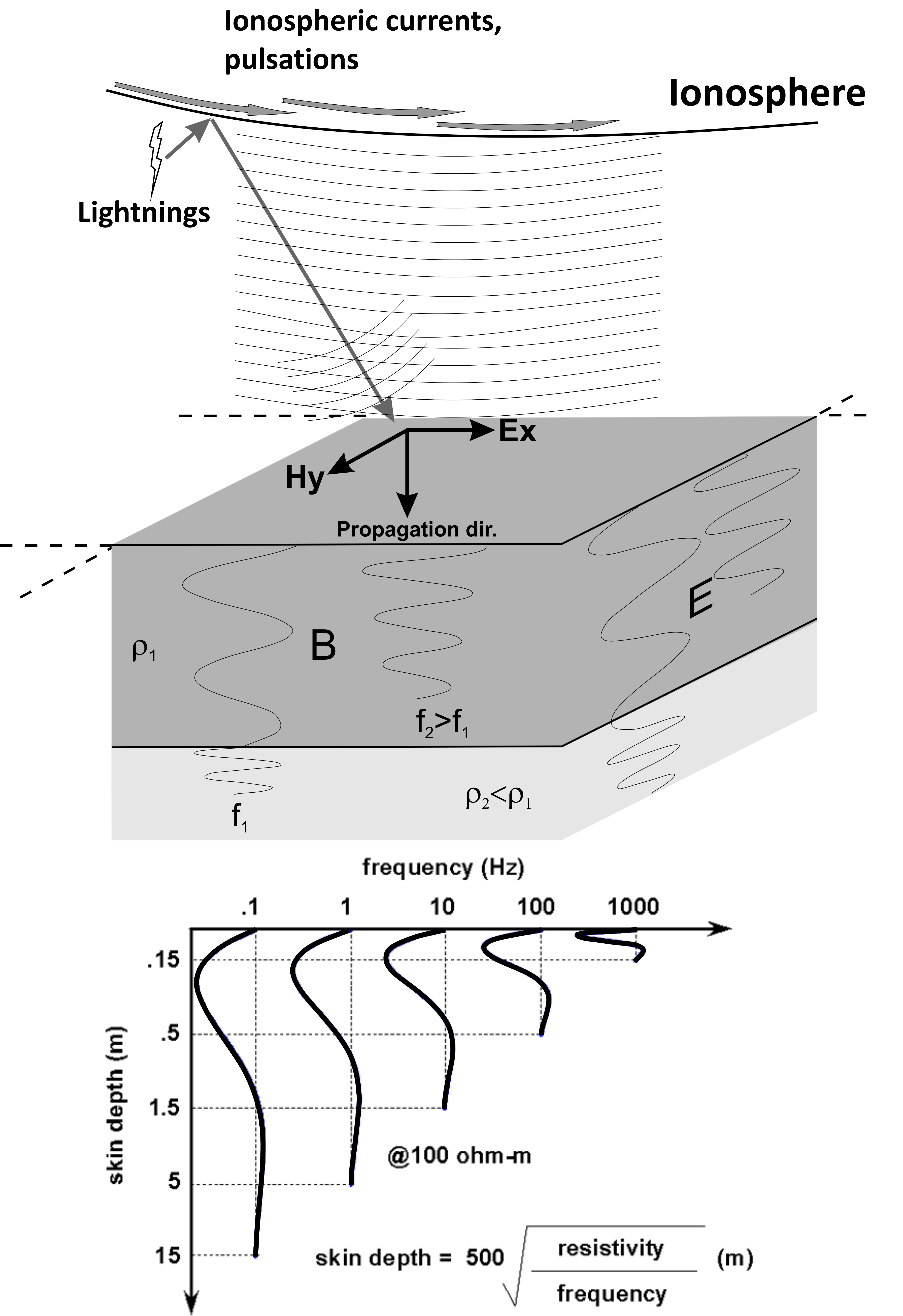
The method is based the EM induction in the Earth generated by natural sources such as ionospheric currents, pulsations and lightnings. These sources are the driving force of the telluric currents flowing beneath the Earth’s surface.
-
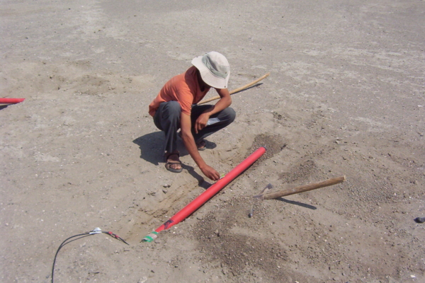
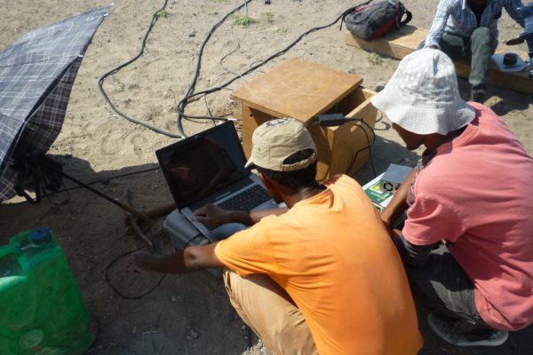
The intensity of the induced currents is related to the subsurface resistivity distribution, that can be estimated by measuring E and H at the Earth’s surface by suitable equipments. These equipments are usually constituted by 3 orthogonal magnetic coils and two electric dipoles. E and H time series are acquired by high-resolution data loggers, and then robustly processed in order to estimate reliable apparent resistivity and phase data.
-
Tellus has developed and uses his own MT data processing system to make this estimation. These data are the starting point for subsequent analysis and modelling.
-
The nowadays technology allows to obtain reliable and affordable 3D resistivity models, describing at best the resistivity structure of any field. Three-dimensional modelling is usually preceded by preliminary 1D and 2D modelling.
-
Magnetotellurics is the main geophysical technique employed in many exploration projects, since it can provide a reliable multi-dimensional resistivity imaging of the subsurface in very rugged areas and at affordable costs.
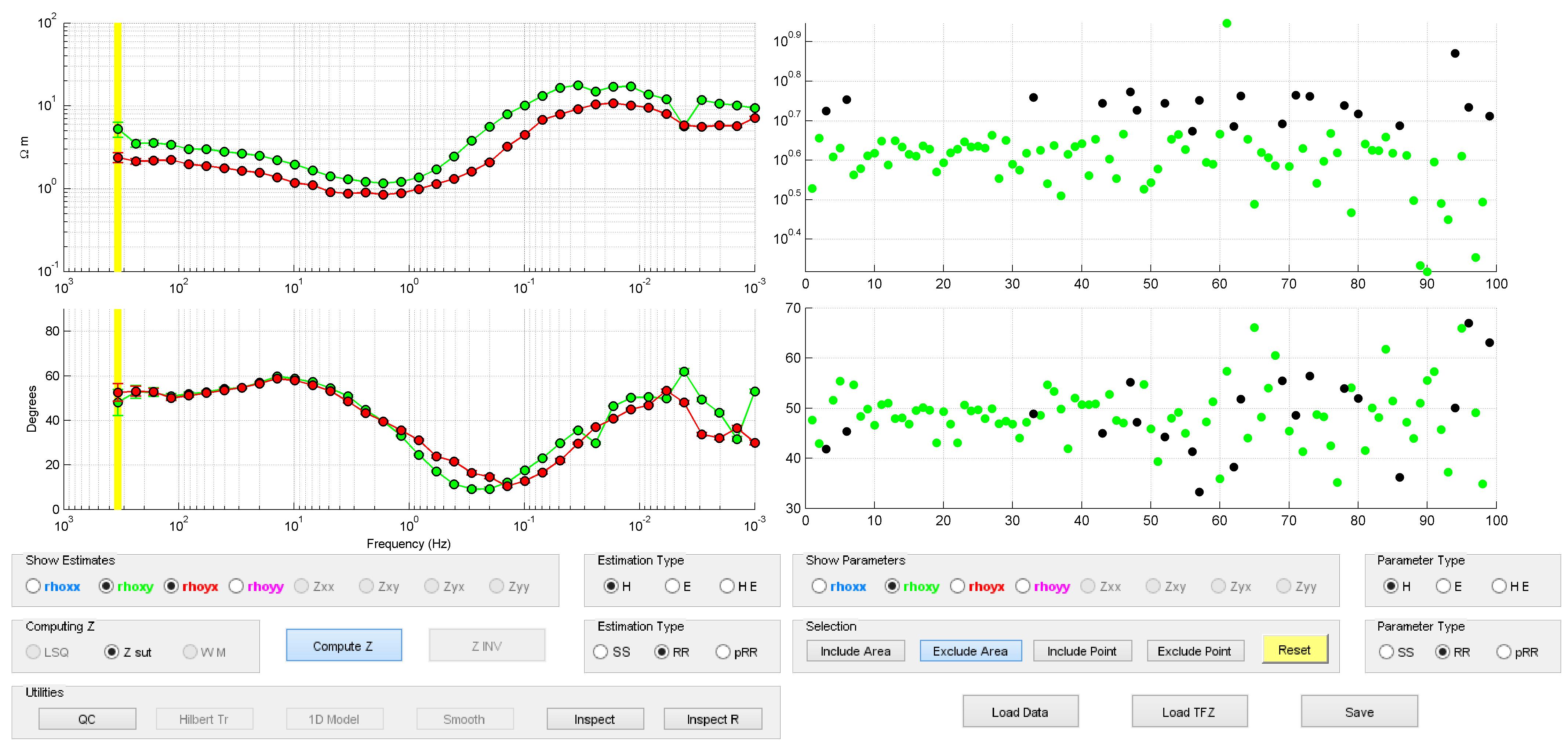 |
| MT data processing |
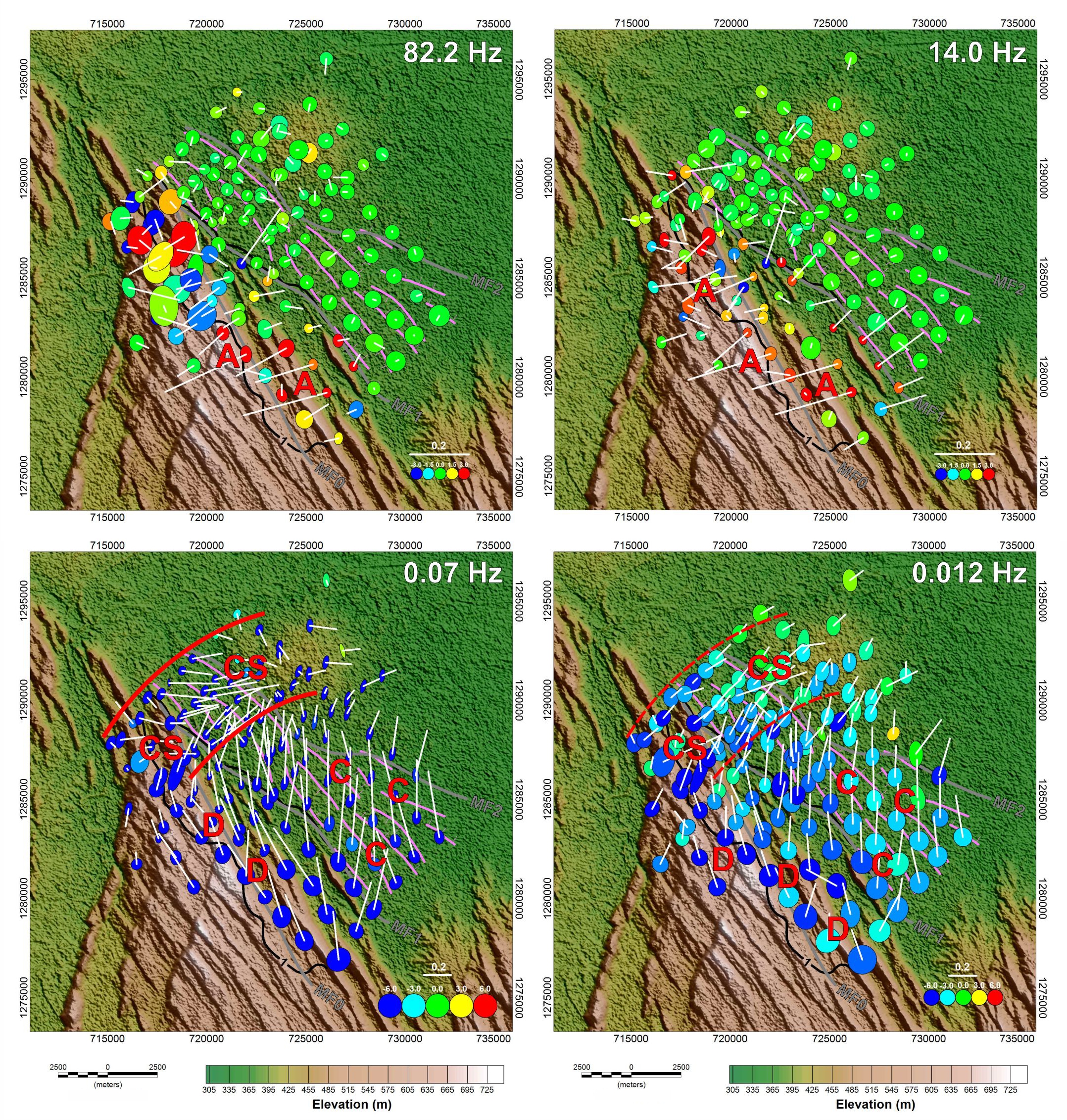 |
| MT dimensional analysis |
 |
| Example of 1D laterally constrained resistivity model |
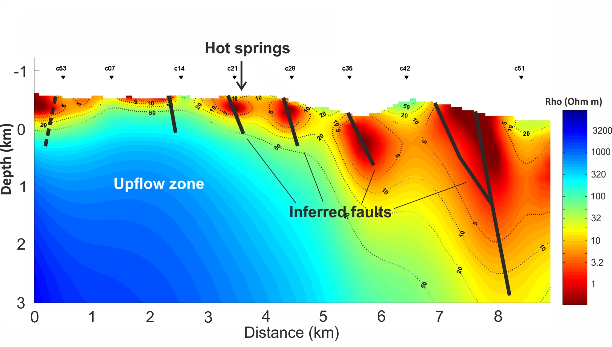 |
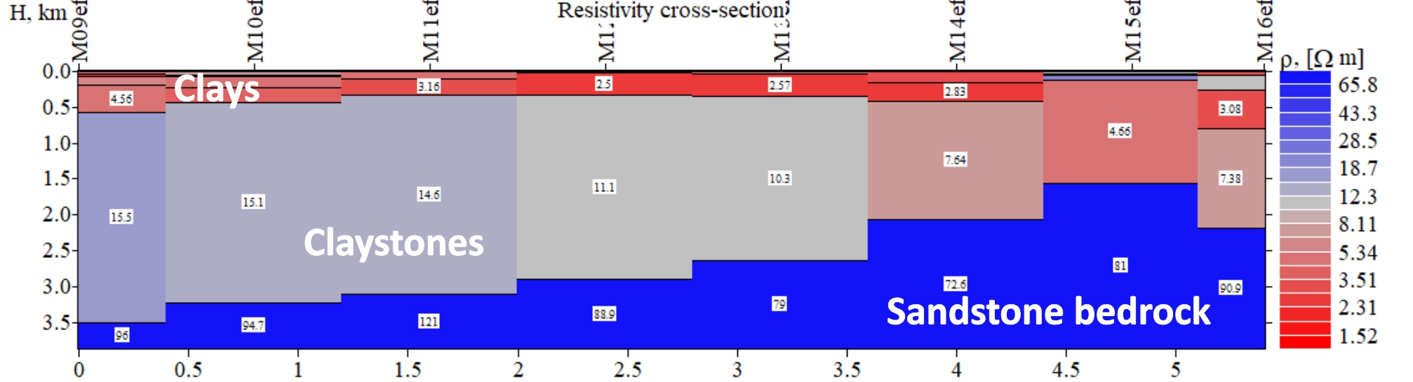
| Example of 2D model |
 |
| Example of 3D resistivity model |
 |
| Resistivity slices from 3D model |